There is no quick way in. The nearest airport and railway stations are down on the edge of the plains; from there it is about 270 km of mountain highway to the trailhead at Govindghat, and then roughly 14 km more — four by jeep and the rest on foot — to the village of Ghangaria. Plan on two days from the plains to Ghangaria and the same coming back.
Step 1: reach Haridwar, Rishikesh or Dehradun
- By air: the nearest airport is Jolly Grant Airport, Dehradun, with flights from Delhi and several other Indian cities. It is about 20 km from Rishikesh and 35–40 km from Haridwar. A pre-booked transfer or a prepaid taxi takes 30–60 minutes.
- By train: Haridwar Junction is the main railhead, with many daily trains from Delhi (roughly four to six hours) and direct services from across India. A smaller number of trains run on to Rishikesh and Yog Nagari Rishikesh stations.
- By road from Delhi: about 220 km to Haridwar and 240 km to Rishikesh, typically five to seven hours by car or overnight bus. A private transfer is the easiest option with luggage.
Step 2: the road to Joshimath and Govindghat
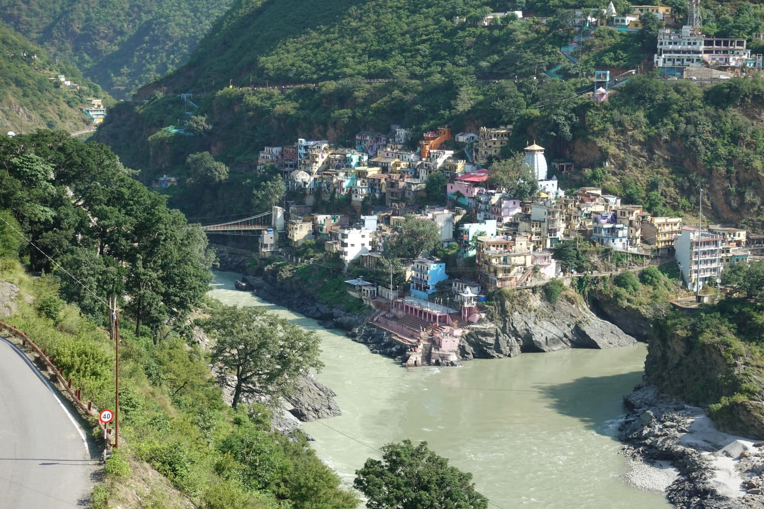
From Rishikesh the Badrinath highway — the old NH-58, now numbered NH 7 — climbs the gorge of the Ganga and then the Alaknanda for the whole distance. It is a spectacular and tiring drive of nine to eleven hours to Joshimath, passing all five of the Panch Prayag confluences. The stages look like this:
| Stage | Approx. distance from Rishikesh | What is there |
|---|---|---|
| Rishikesh | 0 km | Start early — 5 to 6 am is normal |
| Devprayag | 70 km | Bhagirathi + Alaknanda = Ganga; viewpoint on the highway |
| Srinagar (Garhwal) | 105 km | Largest town on the route; fuel, food, ATMs |
| Rudraprayag | 140 km | Alaknanda meets Mandakini; Kedarnath road turns off |
| Karnaprayag | 170 km | Confluence with the Pindar river |
| Chamoli / Pipalkoti | 200–215 km | Common overnight halt before Joshimath |
| Joshimath (Jyotirmath) | 250–255 km | Usual night stop; last reliable ATMs |
| Govindghat | 270–275 km | Trailhead; jeeps to Pulna |
Ways to travel the road
- Private car with driver: the most comfortable and flexible choice, booked in Rishikesh or Haridwar or as part of a trek package. Use a driver experienced on hill roads.
- Bus: state transport and private buses leave Rishikesh and Haridwar in the early morning for Joshimath and Badrinath. They are cheap and slow, and most do not travel after dark.
- Shared jeep: shared taxis run in stages (Rishikesh–Srinagar–Rudraprayag–Chamoli–Joshimath). Quicker than the bus, less legroom.
Step 3: Joshimath to Govindghat and Pulna
Govindghat is about 20 km beyond Joshimath on the Badrinath road — around an hour by taxi, shared jeep or bus. From Govindghat a narrow road crosses the Alaknanda and climbs about four kilometres to the village of Pulna; shared jeeps shuttle up and down from early morning for a small fare. Private vehicles are normally parked at Govindghat.
Step 4: Pulna to Ghangaria
- On foot: about 9–10 km and 1,000 metres of ascent on a wide stone path beside the Lakshman Ganga, with tea stalls every kilometre or two. Most walkers take four to six hours. The gradient is gentle to Bhyundar village, about halfway, and steeper for the last three kilometres.
- By mule: riding mules and pack mules are hired at the stands in Govindghat and Pulna at rates fixed for the season.
- By porter: porters carry bags, and also carry children or less mobile visitors in a basket or a chair.
- By helicopter: a short shuttle normally flies between Govindghat and Ghangaria in season. It saves the walk but depends entirely on the weather and is frequently grounded in July and August. Check the current operator, fare and baggage limit on the spot.
Step 5: from Ghangaria
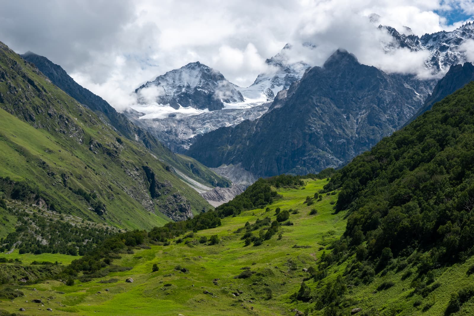
Both goals are day walks from the village. The Valley of Flowers begins about three to four kilometres up the left-hand trail; Hemkund Sahib is six steep kilometres up the right-hand one. Mules go to Hemkund but are not allowed into the national park.
Registration and paperwork
- In recent seasons the Uttarakhand government has required travellers on the Char Dham and Hemkund Sahib routes to register in advance, online or at counters along the way. The rule and the process have changed from year to year — check the state tourism website before you travel.
- The Valley of Flowers itself needs only an entry ticket, bought at the forest check post near Ghangaria. Carry photo ID (passport for foreign nationals).
- Carry a few photocopies of your ID; they are asked for at several counters.
Coming back
The return is the same route in reverse. Walk down to Pulna in three to four hours, and either sleep in Joshimath or — with an early start — make a side trip to Badrinath first. Allow a full day for the drive to Rishikesh.